An Overview Of Our Solution
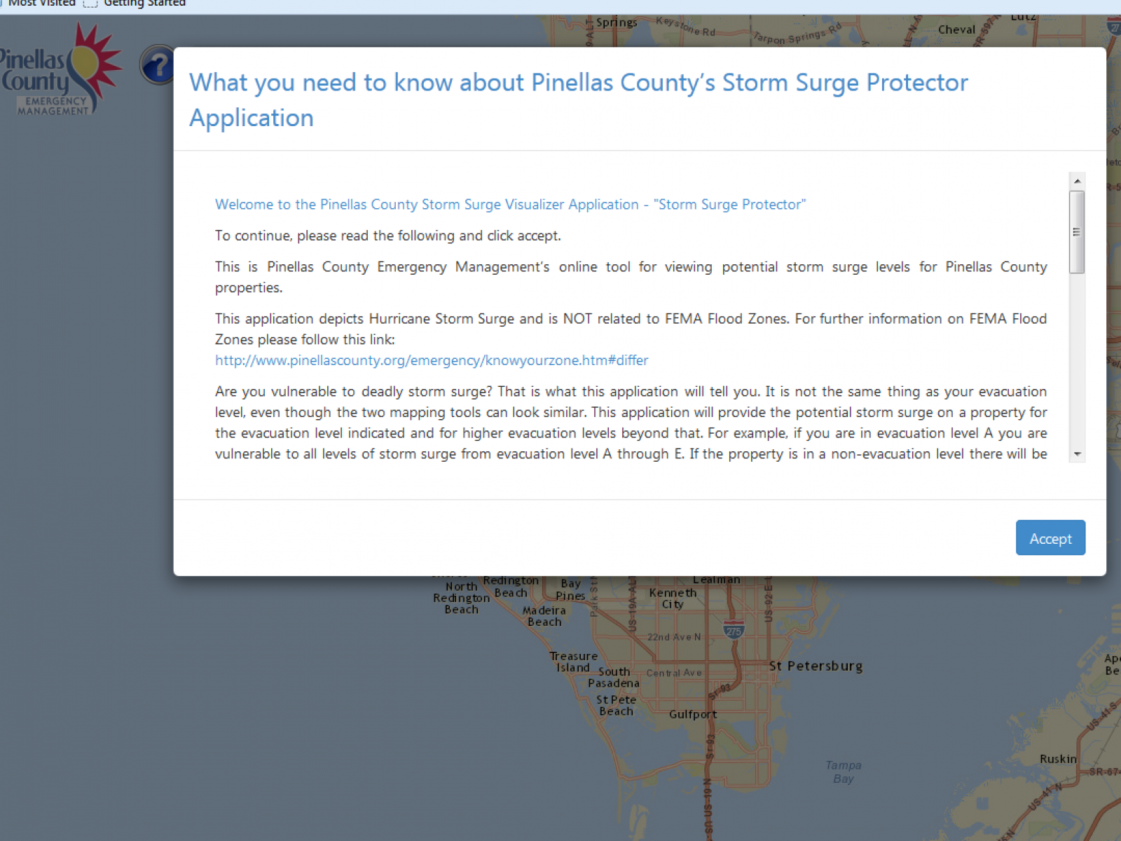
Pinellas County Storm Surge Protector Pinellas County produced an internet based application to make storm surge hazards personal to citizens by applying the hazard to their property parcel, as well as their neighborhood. The application also provides their evacuation level. This project was developed using current standards and popular applications to allow it to be packaged and shared with any entity who also has storm surge vulnerability, and possesses the LIDAR and SLOSH data to plug into the application’s framework.
- Population Impacted: 500,000-600,000
- Continent: North America
Address
10750 Ulmerton Rd., Suite 267
Largo, FL 33778
United States
Hazard
Identify the likelihood and frequency of this hazard
Explain how vulnerable the community is to this hazard
List the potential affects of this hazard
Identify how sensitive the community is to these affects
Preparedness Goal
Implementation Actions
Based on individual property accessed by address, and by reading the type of structure listed in the property appraiser database, provides visual depiction of the height of storm surge at different evacuation levels against the type of structure on the property. It also shows an overhead aerial depiction of storm surge vulnerabilities of the surrounding neighborhood.
Describe Your Solution
Constituents have a hard time understanding the concept of storm surge, its destructiveness and their vulnerability. They continually discuss evacuating for wind but not for storm surge, even when they live in the most vulnerable areas. The storm surge depictions provided by the application, as well as the text information provided as part of the product, are intended to visually show constituents how deep the water will be while it enumerates other hazards from that depth of water, in order to convince them to take storm surge seriously and respond accordingly when their evacuation level is ordered to go.
Economic?
No measurable metric but if it causes better preparation in order to preserve belongings/supplies/records, etc. it will have an economic impact.
Environmental?
Better preparation and securing of materials hazardous to the environment. Facilities and companies are able to look at their storm surge vulnerability and make educated preparation plans based on that information.
What were the negative or unintended impacts (if any) associated with implementing this solution?
In areas where storm surge is not expected to reach a foot or more deep on a piece of property for a specific evacuation level, the application may encourage some to stay home. Since many deaths have taken place as part of an evacuation there is no specific answer as to what is the best option, but in this case they will be making an informed decision based on the best information available.
Return on Investment: How much did it cost to implement these activities? How do your results above compare to this investment?
$50,400 The ROI for the money spent will be extremely high if it provides the life saving benefits it was created for, and the economic and environmental savings – while difficult to measure – will be considerable if the application causes businesses and individuals to better plan and prepare based on their actual vulnerabilities.
What are the main factors needed to successfully replicate this solution
• The user must have a SLOSH study with LIDAR data and access to the property appraiser database records for their jurisdiction. • The application is supported on any HTML5 browsers (Internet Explorer 10 or above, Google Chrome, Firefox). • The application operates on a Windows Server 2008 R2 operating system running at least Internet Information Services (IIS) 7. To the extent possible, the application was developed to support the County’s planned upgrade to Windows Server 2012 O/S. • The application uses Esri’s JavaScript API (most current version as of March 2014). • All GIS data is from the County’s Enterprise geodatabase. • Esri ArcGIS for Server 10.2 is used for all GIS web services. • The application operates using a public sub domain • The application is developed in HTML/HTML5/JavaScript • The application target screen resolution of 1024 x 768 • The application source code is available as a Visual Studio solution and stored in a TFS repository.